Daily Utah Flooding Situation Report April 19th
Wednesday, April 19, 2023
Significant State Activity
New On 4/18/23, The State of Utah has declared a State of Emergency due to flooding. This declaration is in effect for the next 30 days.
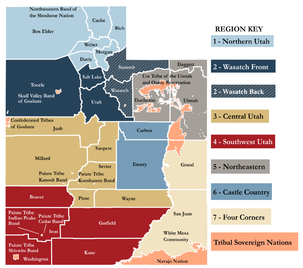
Update Active Areas of Flooding Concern – (Region 1) Weber River, Ogden River, Hyrum Dam, (Region 6) Bear Fire burn scar, Trail Mountain burn scar, Scofield Reservoir, Clear Creek, (Region 7) Pack Creek, Mill Creek, Spanish Valley, Bluff, Dolores River, (Region 2) Emigration Creek near Salt Lake City’s East Bench,
Spanish Fork Canyon, between 1500 E. and 1700 E. in Salt Lake City, the Town of Alta, Big Cottonwood Creek, Little Cottonwood Creek, Loafer Canyon, and Parleys Canyon burn scar.*
*Areas area identified through various local and State resources and reflect a range of timeframes for concern
Other Immediate Concerns
- Update With the trend in the observed flow last night, the Flood Advisory for Emigration Creek was canceled. [NWSSLC]
- Active Current flood risk is spring runoff, increasing streamflows, and snowmelt.
Current State (SERT) Actions
- Active 7 camera locations have been identified in coordination with USGS and will be deployed within the next week. An additional 8 cameras will be reviewed in the next week for deployment. [WebEOC]
- Active Activated Emergency Support Functions: ESF #1, ESF #5, ESF #14, ESF #15, Logistics, VDCT, and Finance.
Impact and activity information is provided by Local Emergency Management partners, the State Emergency Response Team (SERT),and private and non-profit partners through various coordinating communication channels. This is a developing situation, and information may quickly become outdated. Additional situation reports may be made as verified information becomes available.
If you found this news entry interesting, please consider sharing it through your social network.